


Walking Around Dungarvan
Dungarvan Town Trail
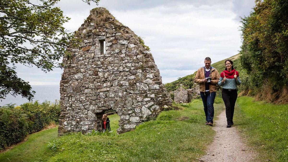
Tradition States that Dungarvan was founded by Saint Garavn when he established an Abbey of Canons here in the 7th Century.
Dungarvan was incorporated as a town by the Act of Parliament in 1463.The town was burned and destroyed during the Civil War in 1642.The town lay neglected until the beginning of the 19th Century when it was Replanned.A central Square and surrounding streets were constructed and soon after, a fine bridge and quay.There are interesting old lanes and warehouses and many fine traditional Shopfronts can still be seen around the town.
Dungarvan Town Trail Maps available at Reception.
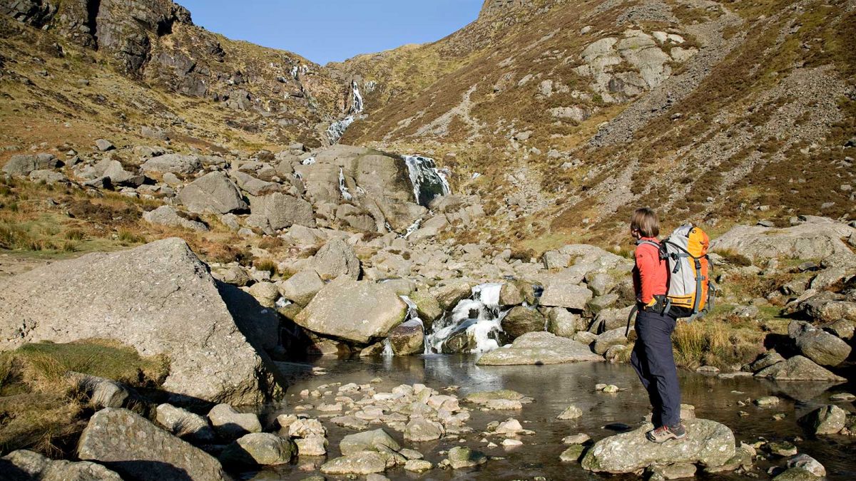
Comeragh Mountain Walks
The Comeragh Mountains are a remarkably varied range, stretching from the coast near Dungarvan inland as far as Clonmel. The central part of the Comeragh Mountains features a boggy plateau, while the fringe features phenomenally rocky coums filled with a wonderful assortment of little Loughs. Here you will find the rock-walled Coumshingaun and Coum Iarthair, as well as Crotty’s Lough. Other deep hollows include Coumstillogue, Coumalocha, Coumfea and Coumtay. Searching for them all can make for some quite interesting explorations. The fine rocky peak of Knockanaffrin rises between the Nire Valley and Clonmel, along with a range of gentler, less often walked hills. The Munster Way runs nearby, crossing the hills between Clonmel and Newcastle.Heading southwards from the Nire valley, towards Dungarvan, there are some fine rounded hills, such as Seefin and Crohaun, while a network of forest tracks offer easier walking. The Comeragh Mountains Walking Festival is held every October and is centred on the Nire Valley.
Cruachan Walking Trail
Distance: 6 miles/9.6 km
Time: 3 hours
This walk takes the south facing slope of Cruachan Hill. This hill has two advantages, being close to the coast in the south and to the Comeragh Mountains in the north. The summit, on a clear day, affords a breathtaking 360 degree view of the coast from Youghal to Tramore, the Knockmealdowns to the north-west and the Comeraghs to the north. The walk is over paths, forest roads and quiet country roads.
An Coinigéar Walking Trail
Distance: 11 km
Time: 2 hours
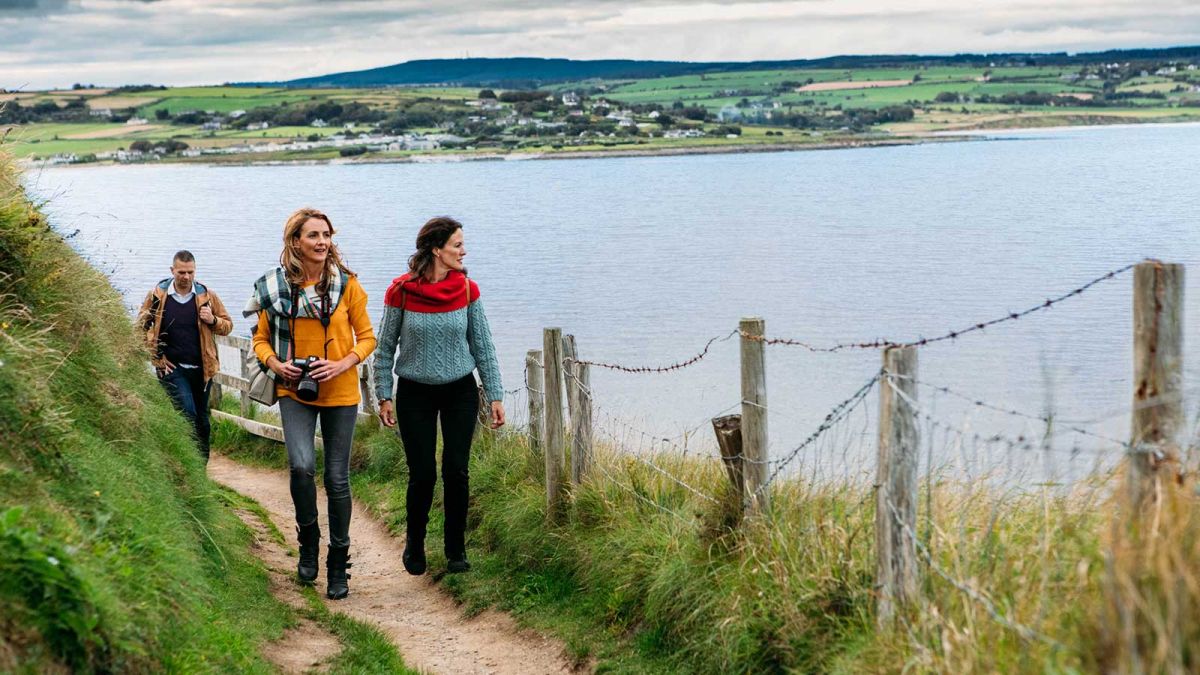
From Mooneys walk down the hill around the bend and pass a disused cemetery on you left. Turn right at the T-junction heading towards the college, which you will pass on your right. Now the road meanders along with the bay on its right until you come to the entrance to An Coinigéar, this is a sideroad that leads down to the sea, where there is a car park. There is a river to the left of the sideroad and a plaque saying 'An Coinigéar'. Follow the curve of the shore out to the long sandy spit that sticks out into Dungarvan Bay. Try to walk as far as the highest sand dunes to capture the full flavour of the walk. The walk is memorable for its views to the Knockmealdown and Comeragh Mountains and to Helvick Head. It is an excellent place for bird-watching as many different seabirds can be seen in this area.
Colligan Walking Trail
Distance: 3.5 miles/5.6 km
Time: 1.5 hours
The Colligan walk takes the walker through woodland that grows along the valley of the River Colligan, where is a wide range of tree species. Birdlife to look out for include the chiff-chaff, thrush, coal tit and goldfinch. With luck, you might spot the elusive treecreeper and jay.
Helvick Head Walking Trail
Distance: 7 km
Time: 2 hours
The walk starts at Mooneys Pub on the R674. From Mooneys walk uphill past the tennis courts and stay on this road all the way to Helvick Harbour (3 km). There are fine views over Dungarvan Bay. Walk straight on keeping the obelisk on your left, then turn right after you have walked past the college. Turn left at the junction and follow a level narrow road until you think you are entering the gate of a private house. But just at the gate turn right onto a stony path, this takes you over a stile onto open ground. Walk up the steep hill keeping the furze on your left to reach the summit. There are excellent views from here. When ready, retrace your steps back to Mooneys.
The Ardmore Cliff Walk
Distance: 5 km
Time: 1 hour
The Ardmore Cliff walk takes you around Ardmore Head and Ram Head passing the shipwreck known as Sampson. On your right you will see the coastguard station (1867), the castle (1867), the lookout post, used for observation during World War II, and Father O'Donnell's Well. The Round Towers were built between the 9th and 12th centuries, this is one of the finest, if late, examples of this type of structure in Ireland.
Walking Weekend*
Explore the beautiful scenery of Dungarvan on foot, with guided walks from Dungarvan during the Summer months.
At your Leisure you can follow the town trail map or for the more energetic and adventurous walker there is an abundance of walkways.
For Further Information Please Call Us On 058-41122 or email reservations@lawlorshotel.com